Sustainable Community Living in our School and Beyond
Agios Spyridonas High School, Cyprus
Water Routes - Paou Primary School
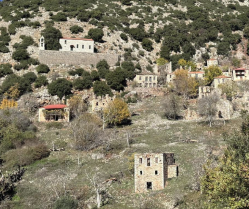
Primary School of Paou Kalavryta, Greece
Like flowing water
Special Junior High School Heraklion, Greece
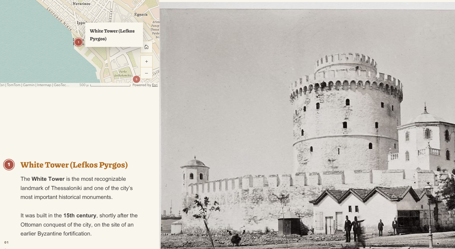
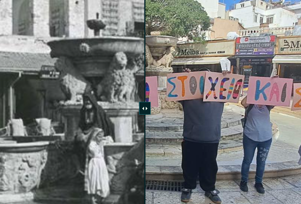
91 Steps of Freedom
1st Model General Lyceum of Thessaloniki "Manolis Andronikos", Greece
Our Planet Our Future
Ellinogermaniki Agogi, Greece
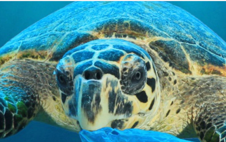
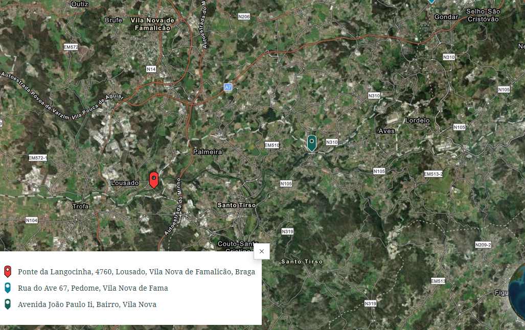
Proteger a vida marinha
EB Terras do Ave, Portugal
Δέσεις-Φράγματα Ανάσχεσης Χειμαρρικής Ροής στην Ελασσόνα
Gymnasium & Lyceum Tsaritsani-Elassona, Greece
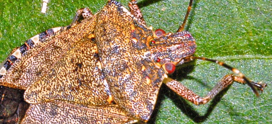
Halyomorpha Halys
Özel Atakent Anadolu Lisesi High School, Turkey
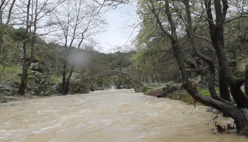
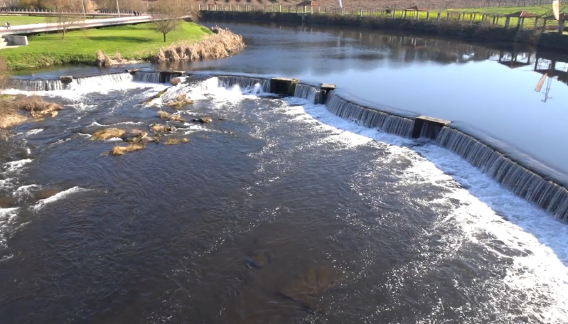
The rivers of our area
Model General High School (Lyceum) of Heraklion, Greece
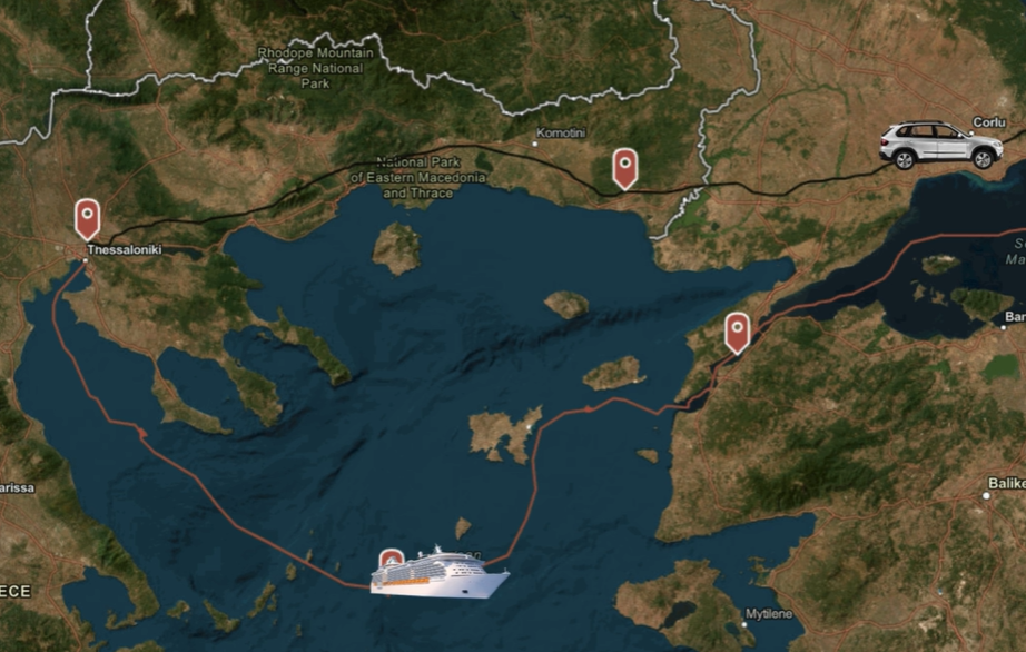
Sea, land, and people that...unite us
1st Model General Lyceum of Thessaloniki "Manolis Andronikos", Greece
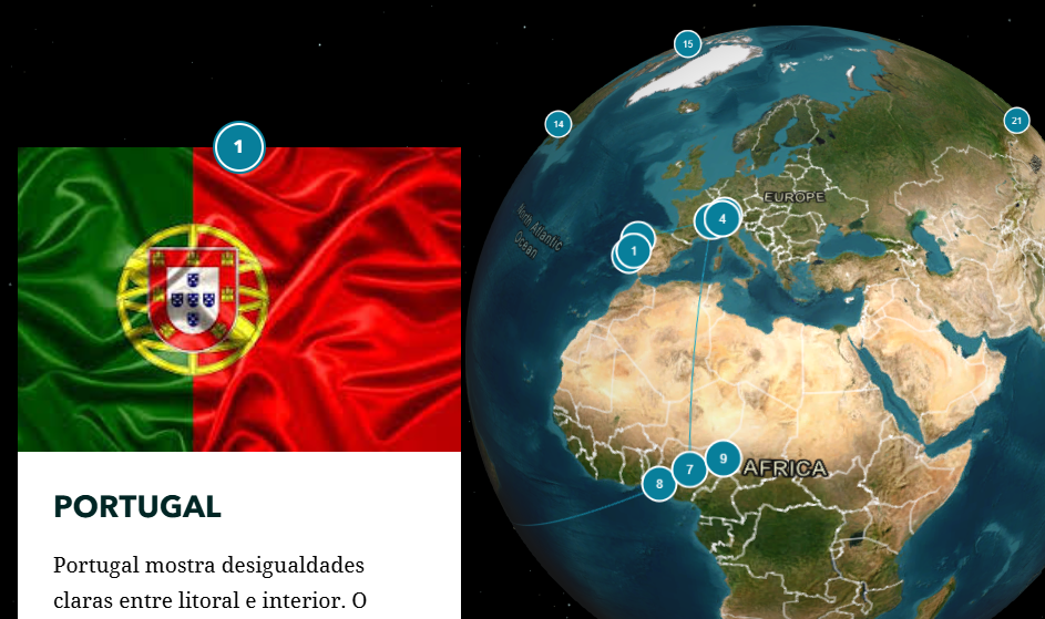
Reduzir as Desigualdades
EB Terras do Ave, Portugal
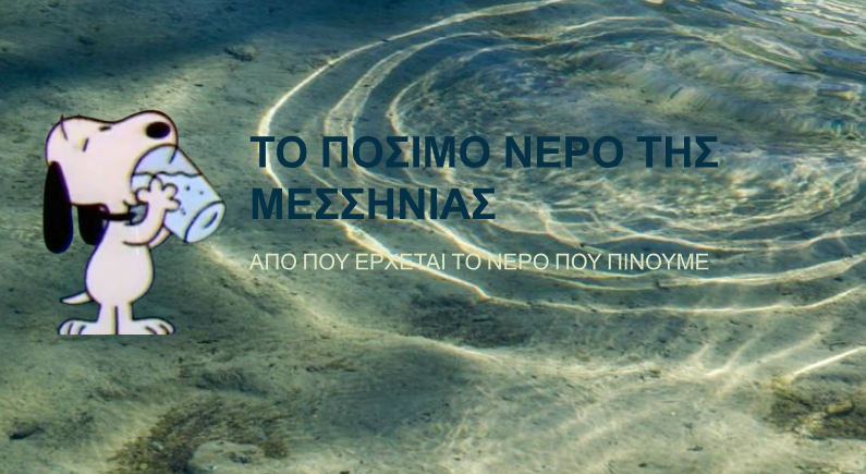
Τουρίστας...και νερό στη Μεσσηνία
Vocational Senior High School of Kalamata, Greece
Changing the end
3rd Junior High School of Argyroupolis, Greece
The Incomplete Promise of Gender Equality
Ellinogermaniki Agogi, Greece
Sem água potável, futuro não há!
EB Terras do Ave, Portugal
Todo O Lixo Vai Parar Ao Mar
EB Terras do Ave, Portugal
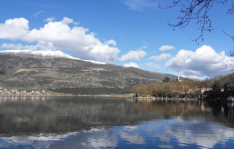
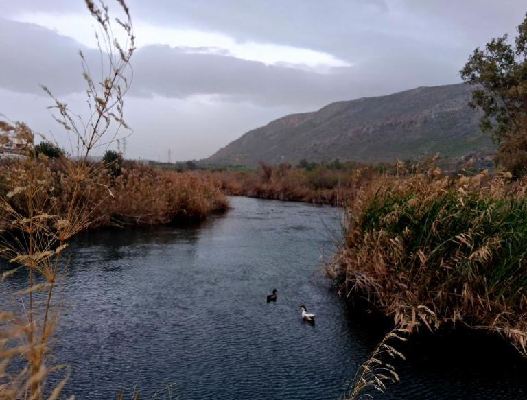
Λίμνη Παμβώτιδα
Primary School of Kranoula, Ioannina Greece